
Africa
Mali: flag, map, capital and facts
Everything about Mali: its flag, its map and its facts.
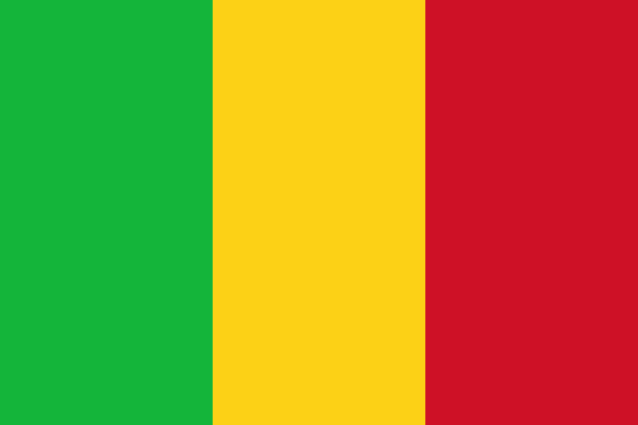
- Capital
- Bamako
- Population
- 25.2 million
- Area
- 1,240,192 km²
- Currency
- West African CFA Franc
#58 by population · #23 by area · #112 economy in the world · #166 by population density
Population and society
Population of ml, 1960–2025. From 5.4 million in 1960 to 25.2 million in 2025.
- Population density
- 20 per km² (rank 166 of 194)
- Urban population
- 32.2% (2025)
- Under 15
- 45.8% (2025)
- Over 65
- 2.4% (2025)
- Children per woman
- 5.51 (2024)
- Internet users
- 36.8% (2024)
Economy and nature
- GDP
- $30.1B (rank 112 of 194)
- Unemployment
- 2.8% (2025)
- Inflation
- 3.3% (2025)
- Forests
- 8.7% (of its land · 2024)
- CO₂ per person
- 0.3 t (a year · 2024)
- Lowest point
- 23 m (Senegal River)
Figures: World Bank, latest year with data. Lowest point: reviewed by hand.
Symbols

- Anthem
- Pour l'Afrique et pour toi
- Official name
- République du Mali
- Motto
- Un peuple, un but, une foi (French)
Coat of arms and anthem: Wikimedia Commons.
Practical facts
- Official language
- French
- Calling code
- +223
- Internet domain
- .ml
- Driving side
- On the right
- Time zone
- UTC+0
- Demonym
- Malian
Geography
- Continent
- Africa
- Neighbouring countries
- Algeria, Burkina Faso, Guinea, Ivory Coast, Mauritania, Niger, Senegal
- Highest point
- Mount Hombori (1,153 m)
- Largest city
- Bamako, the capital
- Access to the sea
- No (landlocked)
History and politics
- Form of government
- Military government
- Independence from
- France (1960)
Economy and life
- GDP per person
- $1,193 (2025)
- Life expectancy
- 60.7 years (2024)
- Human Development Index
- 0.419 (rank 188 of 193)
Regions in figures
| Name | Population | Area (km²) |
|---|---|---|
| Bamako | 4,227,569 (2023) | 245 |
| Bandiagara | — | — |
| Bougouni | — | — |
| Dioïla | — | — |
| Douentza | — | — |
| Gao | 544,120 (2009) | 170,572 |
| Kayes | — | 119,743 |
| Kidal | 83,192 (2022) | 151,450 |
| Kita | — | — |
| Koulikoro | — | 90,120 |
| Koutiala | — | — |
| Menaka | — | 81,040 |
| Mopti | 2,037,330 (2009) | 79,017 |
| Nara | — | — |
| Nioro | — | — |
| San | — | — |
| Ségou | 2,336,255 (2009) | 64,821 |
| Sikasso | 2,625,919 (2009) | 70,280 |
| Taoudénit | 18,160 (2009) | 323,326 |
| Tombouctou (Timbuktu Region) | 681,691 (2009) | 56 |
Capitals, population and area: Wikidata. The year of each population is in brackets.
Its flags over time
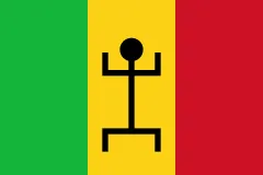 Mali · 1959–1961
- Mali · 1961–today
Flags: Wikimedia Commons.
Frequently asked questions
What is the capital of Mali?
Bamako
How many people live in Mali?
25.2 million inhabitants (2025)
What currency is used in Mali?
West African CFA Franc
What is the official language of Mali?
French
What is the calling code of Mali?
+223
Which countries border Mali?
Algeria, Burkina Faso, Guinea, Ivory Coast, Mauritania, Niger, and Senegal
What is the highest point of Mali?
Mount Hombori (1,153 m)
Play Mali · Flag of Mali · Country fact sheets · Maps: Africa · Geotaria
Data: World Bank (population, economy), UNDP (human development), Wikidata, GeoNames and mledoze/countries.