
Africa
South Sudan: flag, map, capital and facts
Everything about South Sudan: its flag, its map and its facts.
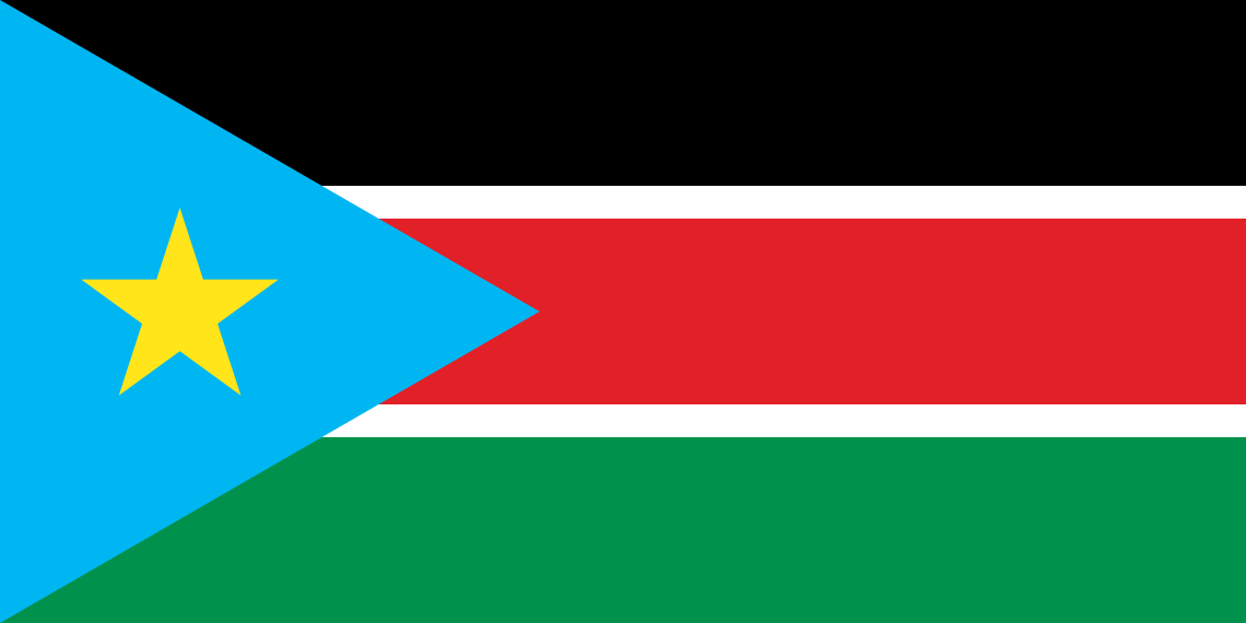
- Capital
- Juba
- Population
- 12.2 million
- Area
- 619,745 km²
- Currency
- South Sudanese Pound (£)
#81 by population · #43 by area · #150 economy in the world · #169 by population density
Population and society
Population of ss, 1960–2025. From 2.9 million in 1960 to 12.2 million in 2025.
- Population density
- 19 per km² (rank 169 of 194)
- Urban population
- 21.7% (2025)
- Under 15
- 38% (2025)
- Over 65
- 3.1% (2025)
- Children per woman
- 3.79 (2024)
- Internet users
- 6.7% (2019)
Economy and nature
- GDP
- $12.0B (rank 150 of 194)
- Unemployment
- 12.4% (2023)
- Inflation
- 91.4% (2024)
- Forests
- 11.3% (of its land · 2024)
- Lowest point
- 381 m (White Nile)
Figures: World Bank, latest year with data. Lowest point: reviewed by hand.
Symbols

- Anthem
- South Sudan Oyee!
- Official name
- Republic of South Sudan
- Motto
- Justice, Liberty, Prosperity (English)
Coat of arms and anthem: Wikimedia Commons.
Practical facts
- Official language
- English
- Calling code
- +211
- Internet domain
- .ss
- Driving side
- On the right
- Time zone
- UTC+2
- Demonym
- South Sudanese
Geography
- Continent
- Africa
- Neighbouring countries
- Central African Republic, Democratic Republic of the Congo, Ethiopia, Kenya, Sudan, Uganda
- Highest point
- Kinyeti (3,187 m)
- Largest city
- Juba, the capital
- Access to the sea
- No (landlocked)
History and politics
- Form of government
- Presidential republic · Federal state
- Independence from
- Sudan (2011)
Economy and life
- Life expectancy
- 57.7 years (2024)
- Human Development Index
- 0.388 (rank 193 of 193)
States in figures
| Flags | Name | Capital | Population | Area (km²) |
|---|---|---|---|---|
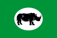 | Central Equatoria | Juba | 1,103,592 (2008) | 43,033 |
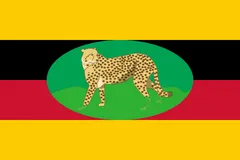 | Eastern Equatoria | Torit | 906,126 (2008) | 82,542 |
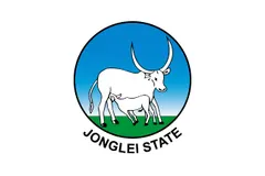 | Jonglei | Bor | 1,358,602 (2008) | 122,479 |
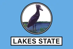 | Lakes | Rumbek | 695,730 (2008) | 43,595 |
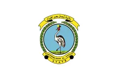 | Northern Bahr el Ghazal | Aweil | 720,898 (2008) | 33,558 |
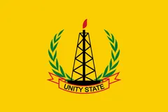 | Unity | Bentiu | 585,801 (2008) | 35,956 |
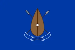 | Upper Nile | Malakal | 1,385,478 (2017) | 77,773 |
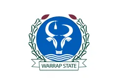 | Warrap | Kuajok | 972,928 (2008) | 31,027 |
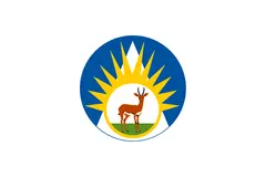 | Western Bahr el Ghazal | Wau | 333,431 (2008) | 91,080 |
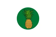 | Western Equatoria | Yambio | 619,029 (2008) | 79,343 |
Capitals, population and area: Wikidata. The year of each population is in brackets.
Flags: Wikimedia Commons.
Frequently asked questions
What is the capital of South Sudan?
Juba
How many people live in South Sudan?
12.2 million inhabitants (2025)
What currency is used in South Sudan?
South Sudanese Pound
What is the official language of South Sudan?
English
What is the calling code of South Sudan?
+211
Which countries border South Sudan?
Central African Republic, Democratic Republic of the Congo, Ethiopia, Kenya, Sudan, and Uganda
What is the highest point of South Sudan?
Kinyeti (3,187 m)
Play South Sudan · Flag of South Sudan · Country fact sheets · Maps: Africa · Geotaria
Data: World Bank (population, economy), UNDP (human development), Wikidata, GeoNames and mledoze/countries.