
Asia
Taiwan: flag, map, capital and facts
Everything about Taiwan: its flag, its map and its facts.
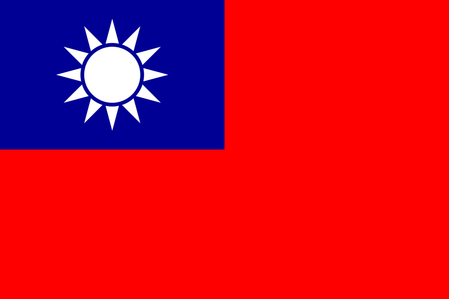
- Capital
- Taipei
- Population
- 23.3 million
- Area
- 36,193 km²
- Currency
- New Taiwan Dollar ($)
#60 by population · #134 by area
Population and society
Economy and nature
- Lowest point
- 0 m (sea level)
Figures: World Bank, latest year with data. Lowest point: reviewed by hand.
Symbols

- Anthem
- National Anthem of the Republic of China
- Official name
- 中華民國
Coat of arms and anthem: Wikimedia Commons.
Practical facts
- Official language
- Chinese
- Calling code
- +886
- Internet domain
- .tw, .台灣, .台湾
- Driving side
- On the right
- Time zone
- UTC+8
- Demonym
- Taiwanese
Geography
- Continent
- Asia
- Neighbouring countries
- None: no land borders
- Highest point
- Yushan Main Peak (3,952 m)
- Largest city
- New Taipei City
- Access to the sea
- Yes
History and politics
- Form of government
- Semi-presidential republic
Divisions in figures
| Flags | Name | Capital | Population | Area (km²) |
|---|---|---|---|---|
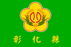 | Changhua | Changhua City | 1,204,630 (2026) | 1,074 |
 | Chiayi | Taibao City | 471,253 (2026) | 1,902 |
 | Chiayi City | — | 261,626 (2026) | 60 |
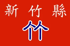 | Hsinchu | Zhubei City | 597,286 (2026) | 1,428 |
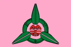 | Hsinchu City | — | 455,871 (2026) | 104 |
 | Hualien | Hualien City | 311,615 (2026) | 4,629 |
 | Kaohsiung City | — | 2,713,032 (2026) | 2,952 |
 | Keelung City | Zhongzheng District | 359,102 (2026) | 133 |
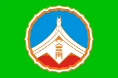 | Kinmen | Jincheng Township | 138,253 (2026) | 153 |
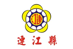 | Matsu Islands (Lienchiang County) | Nangan Township | 13,646 (2026) | 30 |
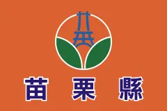 | Miaoli | Miaoli City | 530,213 (2026) | 1,820 |
 | Nantou | Nantou City | 467,424 (2026) | 4,106 |
 | New Taipei City | Banqiao District | 4,041,149 (2026) | 2,053 |
 | Penghu | Magong City | 106,662 (2026) | 141 |
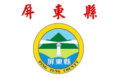 | Pingtung | Pingtung City | 780,101 (2026) | 2,776 |
| Taichung City | Xitun District | 2,868,452 (2026) | 163 | |
 | Tainan City | — | 1,849,762 (2026) | 2,192 |
 | Taipei City | Xinyi District | 2,429,429 (2026) | 272 |
 | Taitung | Taitung City | 208,068 (2026) | 3,515 |
 | Taoyuan | Taoyuan District | 2,356,795 (2026) | 1,221 |
 | Yilan | Yilan City | 448,763 (2026) | 2,144 |
 | Yunlin | Douliou City | 648,459 (2026) | 1,291 |
Capitals, population and area: Wikidata. The year of each population is in brackets.
Flags: Wikimedia Commons. Authors, where the licence asks for it: Kinmen (CC BY-SA 3.0, Hairy35061), Nantou (Attribution, 南投縣政府 Nantou County Government).


Its flags over time
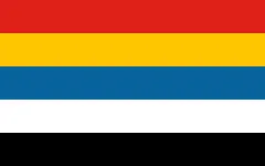 Taiwan · 1912–1928
- Taiwan · 1928–today
Flags: Wikimedia Commons.
Frequently asked questions
What is the capital of Taiwan?
Taipei
How many people live in Taiwan?
23.3 million inhabitants (2026)
What currency is used in Taiwan?
New Taiwan Dollar
What is the official language of Taiwan?
Chinese
What is the calling code of Taiwan?
+886
Which countries border Taiwan?
None: no land borders
What is the highest point of Taiwan?
Yushan Main Peak (3,952 m)
Play Taiwan · Flag of Taiwan · Country fact sheets · Maps: Asia · Geotaria
Data: World Bank (population, economy), UNDP (human development), Wikidata, GeoNames and mledoze/countries.