
Asia
Thailand: flag, map, capital and facts
Everything about Thailand: its flag, its map and its facts.
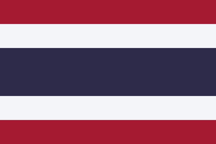
- Capital
- Bangkok
- Population
- 71.6 million
- Area
- 513,120 km²
- Currency
- Thai Baht (฿)
#20 by population · #50 by area · #29 economy in the world · #67 by population density
Population and society
Population of th, 1960–2025. From 26.9 million in 1960 to 71.6 million in 2025.
- Population density
- 140 per km² (rank 67 of 194)
- Urban population
- 62.8% (2025)
- Under 15
- 14.4% (2025)
- Over 65
- 16% (2025)
- Children per woman
- 1.20 (2024)
- Internet users
- 90.9% (2024)
Economy and nature
- GDP
- $577.0B (rank 29 of 194)
- Unemployment
- 0.8% (2025)
- Inflation
- -0.1% (2025)
- Forests
- 38.7% (of its land · 2024)
- CO₂ per person
- 4 t (a year · 2024)
- Lowest point
- 0 m (sea level)
Figures: World Bank, latest year with data. Lowest point: reviewed by hand.
Symbols

- Anthem
- Thai National Anthem
- Official name
- ราชอาณาจักรไทย
- Motto
- ชาติ ศาสนา พระมหากษัตริย์ (Thai)
Coat of arms and anthem: Wikimedia Commons.
Practical facts
- Official language
- Thai
- Calling code
- +66
- Internet domain
- .th, .ไทย
- Driving side
- On the left
- Time zone
- UTC+7
- Demonym
- Thai
Geography
- Continent
- Asia
- Neighbouring countries
- Cambodia, Laos, Malaysia, Myanmar
- Highest point
- Doi Inthanon (2,565 m)
- Largest city
- Bangkok, the capital
- Access to the sea
- Yes
History and politics
- Form of government
- Parliamentary monarchy
Economy and life
- GDP per person
- $8,057 (2025)
- Life expectancy
- 76.6 years (2024)
- Human Development Index
- 0.798 (rank 76 of 193)
Provinces in figures
| Flags | Name | Population | Area (km²) |
|---|---|---|---|
 | Amnat Charoen | 375,380 (2014) | 3,161 |
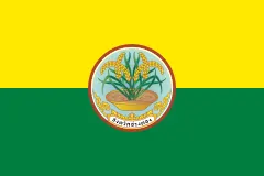 | Ang Thong | 283,568 (2014) | 968 |
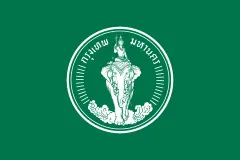 | Bangkok Metropolis | 5,676,648 (2018) | 1,569 |
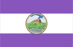 | Bueng Kan | 418,566 (2014) | 4,305 |
 | Buri Ram (Buriram) | 1,581,184 (2020) | 10,323 |
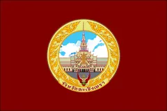 | Chachoengsao | 720,718 (2020) | 5,351 |
 | Chai Nat | 332,283 (2014) | 2,497 |
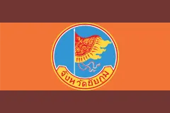 | Chaiyaphum | 1,137,049 (2014) | 12,778 |
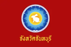 | Chanthaburi | 535,559 (2020) | 6,338 |
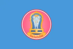 | Chiang Mai | 1,784,370 (2020) | 22,311 |
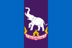 | Chiang Rai | 1,207,699 (2014) | 11,678 |
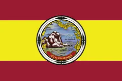 | Chon Buri | 1,421,425 (2014) | 4,363 |
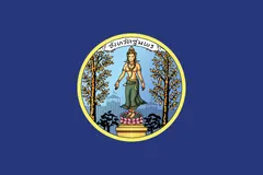 | Chumphon | 500,575 (2014) | 6,009 |
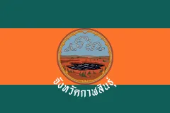 | Kalasin | 977,175 (2020) | 6,947 |
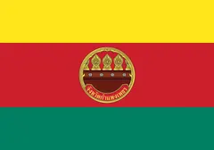 | Kamphaeng Phet | 729,522 (2014) | 8,607 |
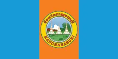 | Kanchanaburi | 891,976 (2020) | 19,483 |
 | Khon Kaen | 1,790,049 (2014) | 10,886 |
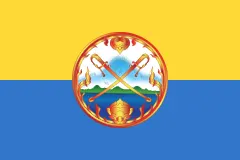 | Krabi | 477,770 (2020) | 4,709 |
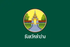 | Lampang | 753,013 (2014) | 12,534 |
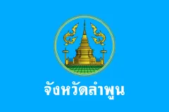 | Lamphun | 402,011 (2020) | 4,506 |
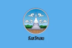 | Loei | 634,513 (2014) | 11,425 |
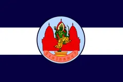 | Lop Buri (Lopburi) | 742,928 (2020) | 6,200 |
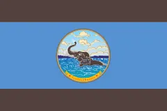 | Mae Hong Son | 284,549 (2020) | 12,681 |
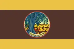 | Maha Sarakham | 953,660 (2020) | 5,292 |
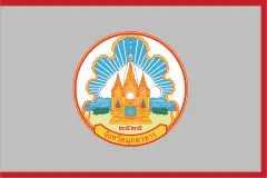 | Mukdahan | 350,911 (2020) | 4,340 |
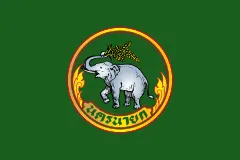 | Nakhon Nayok | 257,300 (2014) | 2,122 |
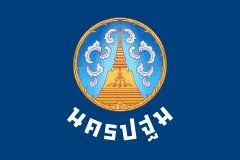 | Nakhon Pathom | 920,729 (2020) | 2,168 |
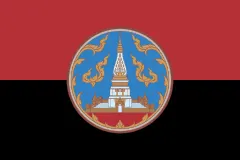 | Nakhon Phanom | 713,341 (2014) | 5,513 |
| Nakhon Ratchasima | 2,620,517 (2014) | 20,494 | |
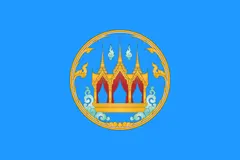 | Nakhon Sawan | 1,072,756 (2014) | 9,598 |
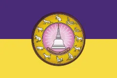 | Nakhon Si Thammarat | 1,550,721 (2020) | 9,943 |
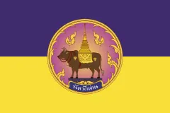 | Nan | 478,264 (2014) | 11,472 |
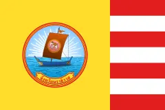 | Narathiwat | 804,429 (2020) | 4,475 |
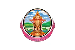 | Nong Bua Lam Phu (Nong Bua Lamphu) | 509,470 (2020) | 3,859 |
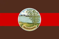 | Nong Khai | 517,435 (2020) | 3,027 |
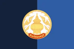 | Nonthaburi | 1,295,916 (2022) | 622 |
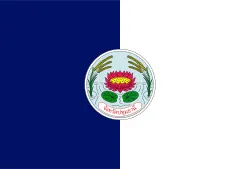 | Pathum Thani | 1,074,058 (2014) | 1,526 |
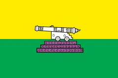 | Pattani | 726,015 (2020) | 1,940 |
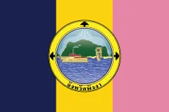 | Phangnga (Phang Nga) | 268,229 (2020) | 4,171 |
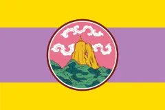 | Phatthalung | 520,419 (2014) | 3,424 |
| Phatthaya (Pattaya) | 119,532 (2019) | 208 | |
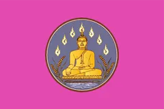 | Phayao | 467,356 (2020) | 6,335 |
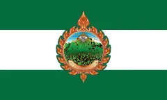 | Phetchabun | 995,807 (2014) | 12,668 |
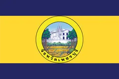 | Phetchaburi | 482,875 (2021) | 6,225 |
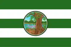 | Phichit | 547,543 (2014) | 4,531 |
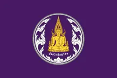 | Phitsanulok | 858,988 (2014) | 10,816 |
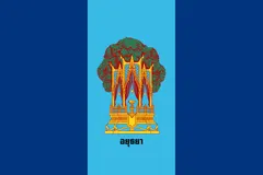 | Phra Nakhon Si Ayutthaya | 803,599 (2014) | 2,557 |
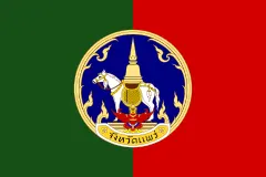 | Phrae | 437,350 (2020) | 6,539 |
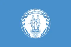 | Phuket | 418,785 (2021) | 543 |
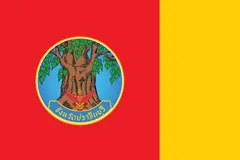 | Prachin Buri | 479,314 (2014) | 4,762 |
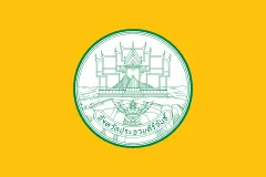 | Prachuap Khiri Khan | 550,678 (2020) | 6,368 |
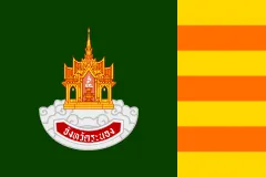 | Ranong | 194,372 (2020) | 3,298 |
 | Ratchaburi | 853,217 (2014) | 5,196 |
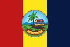 | Rayong | 741,524 (2020) | 3,552 |
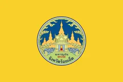 | Roi Et | 1,298,640 (2020) | 8,299 |
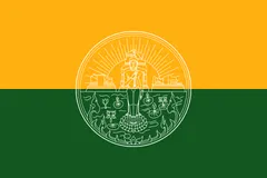 | Sa Kaeo | 560,925 (2020) | 7,195 |
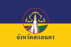 | Sakon Nakhon | 1,146,936 (2020) | 9,606 |
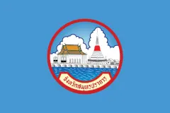 | Samut Prakan | 1,351,479 (2020) | 1,004 |
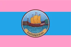 | Samut Sakhon | 531,887 (2014) | 872 |
| Samut Songkhram | 192,052 (2020) | 417 | |
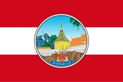 | Saraburi | 633,460 (2014) | 3,576 |
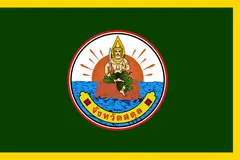 | Satun | 324,098 (2020) | 2,479 |
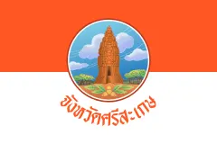 | Si Sa Ket | 1,458,580 (2020) | 8,840 |
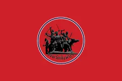 | Sing Buri | 212,158 (2014) | 822 |
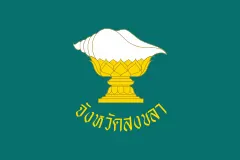 | Songkhla | 1,401,303 (2014) | 7,394 |
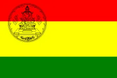 | Sukhothai | 602,460 (2014) | 6,596 |
 | Suphan Buri | 849,053 (2014) | 5,358 |
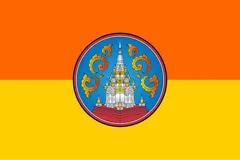 | Surat Thani | 1,067,726 (2020) | 12,891 |
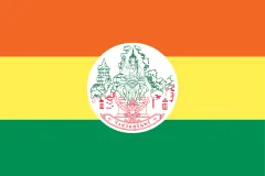 | Surin | 1,391,636 (2014) | 8,124 |
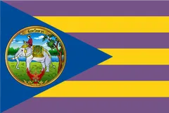 | Tak | 670,265 (2020) | 16,407 |
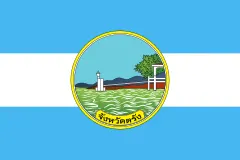 | Trang | 638,746 (2014) | 4,918 |
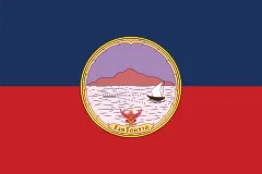 | Trat | 224,730 (2014) | 2,819 |
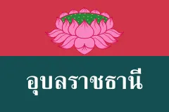 | Ubon Ratchathani | 1,844,669 (2014) | 15,745 |
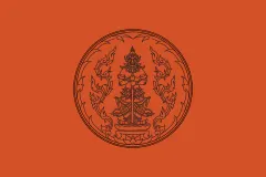 | Udon Thani | 1,567,983 (2020) | 11,730 |
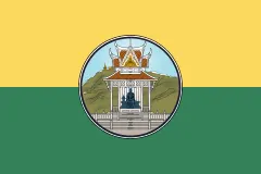 | Uthai Thani | 330,179 (2014) | 6,730 |
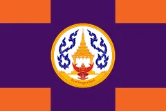 | Uttaradit | 460,400 (2014) | 7,839 |
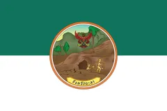 | Yala | 538,602 (2020) | 4,521 |
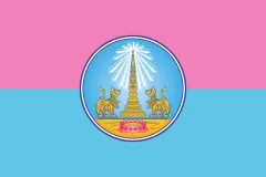 | Yasothon | 534,500 (2020) | 4,162 |
Capitals, population and area: Wikidata. The year of each population is in brackets.
Flags: Wikimedia Commons. Authors, where the licence asks for it: Chachoengsao (CC BY-SA 4.0, PP2014), Lop Buri (Lopburi) (CC BY-SA 4.0, BbriteNBTF), Nakhon Phanom (CC BY-SA 4.0, Xiengyod~commonswiki), Phayao (CC BY-SA 4.0, Me.tammalak.nU), Phitsanulok (CC BY-SA 4.0, Me.tammalak.nU), Phra Nakhon Si Ayutthaya (CC BY-SA 4.0, Xiengyod~commonswiki), Phrae (CC BY-SA 4.0, Me.tammalak.nU), Satun (CC BY-SA 4.0, OktaRama2010 Thanawat kalakan), Sukhothai (CC BY-SA 4.0, Xiengyod~commonswiki).


Its flags over time
 Thailand · 1782–1817
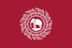 Thailand · 1817–1855
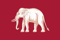 Thailand · 1855–1916
 Thailand · 1916–1917
- Thailand · 1917–today
Flags: Wikimedia Commons.
Frequently asked questions
What is the capital of Thailand?
Bangkok
How many people live in Thailand?
71.6 million inhabitants (2025)
What currency is used in Thailand?
Thai Baht
What is the official language of Thailand?
Thai
What is the calling code of Thailand?
+66
Which countries border Thailand?
Cambodia, Laos, Malaysia, and Myanmar
What is the highest point of Thailand?
Doi Inthanon (2,565 m)
Play Thailand · Flag of Thailand · Country fact sheets · Maps: Asia · Geotaria
Data: World Bank (population, economy), UNDP (human development), Wikidata, GeoNames and mledoze/countries.