
Asia
Timor-Leste: flag, map, capital and facts
Everything about Timor-Leste: its flag, its map and its facts.
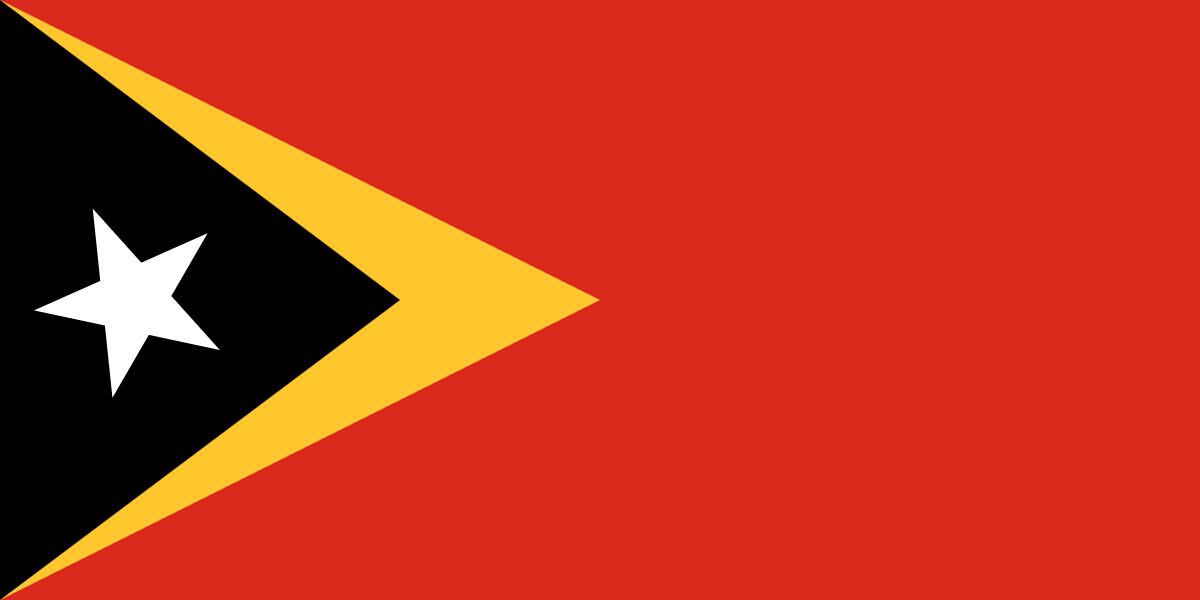
- Capital
- Dili
- Population
- 1.4 million
- Area
- 14,874 km²
- Currency
- US Dollar ($)
#153 by population · #155 by area · #178 economy in the world · #95 by population density
Population and society
Population of tl, 1960–2025. From 468,118 in 1960 to 1.4 million in 2025.
- Population density
- 94 per km² (rank 95 of 194)
- Urban population
- 28.8% (2025)
- Under 15
- 33.1% (2025)
- Over 65
- 5.2% (2025)
- Children per woman
- 2.63 (2024)
- Internet users
- 35% (2021)
Economy and nature
- GDP
- $1.9B (rank 178 of 194)
- Unemployment
- 1.6% (2025)
- Inflation
- 0.4% (2025)
- Forests
- 71% (of its land · 2024)
- CO₂ per person
- 0.5 t (a year · 2024)
- Lowest point
- 0 m (sea level)
Figures: World Bank, latest year with data. Lowest point: reviewed by hand.
Symbols

- Anthem
- Pátria
- Official name
- República Democrática de Timor-Leste · Repúblika Demokrátika Timór-Leste
- Motto
- Unidade, Acção, Progresso (Portuguese)
Coat of arms and anthem: Wikimedia Commons.
Practical facts
- Official languages
- Portuguese and Tetum
- Calling code
- +670
- Internet domain
- .tl
- Driving side
- On the left
- Time zone
- UTC+9
- Demonym
- East Timorese
Geography
- Continent
- Asia
- Neighbouring countries
- Indonesia
- Highest point
- Tatamailau (2,963 m)
- Largest city
- Dili, the capital
- Access to the sea
- Yes
History and politics
- Form of government
- Semi-presidential republic
- Independence from
- Indonesia (2002)
Economy and life
- GDP per person
- $1,341 (2025)
- Life expectancy
- 67.9 years (2024)
- Human Development Index
- 0.634 (rank 142 of 193)
Municipalities in figures
| Flags | Name | Capital | Population | Area (km²) |
|---|---|---|---|---|
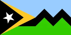 | Aileu | — | 48,837 (2015) | 736 |
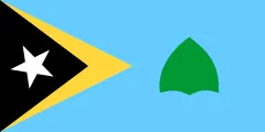 | Ainaro | — | 63,136 (2015) | 803 |
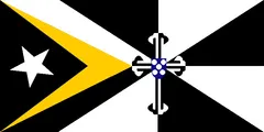 | Ambeno | Pante Macassar | 68,913 (2015) | 814 |
| Atauro | — | 9,274 (2015) | 140 | |
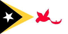 | Baucau | — | 123,203 (2015) | 1,504 |
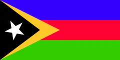 | Bobonaro | Maliana | 97,762 (2015) | 1,378 |
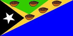 | Cova Lima | Suai | 65,301 (2015) | 1,199 |
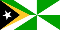 | Dili | — | 268,005 (2022) | 224 |
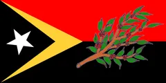 | Ermera | Gleno | 125,702 (2015) | 757 |
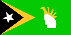 | Lautém | Lospalos | 65,240 (2015) | 1,817 |
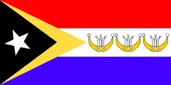 | Liquica | — | 71,927 (2015) | 560 |
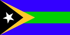 | Manatuto | — | 46,619 (2015) | 1,783 |
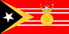 | Manufahi | Same | 53,691 (2015) | 1,333 |
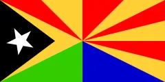 | Viqueque | — | 73,033 (2015) | 1,873 |
Capitals, population and area: Wikidata. The year of each population is in brackets.
Flags: Wikimedia Commons. Authors, where the licence asks for it: Aileu (CC BY-SA 3.0, SiBr4), Ainaro (CC BY-SA 3.0, Дмитрий-5-Аверин), Bobonaro (CC BY-SA 3.0, SiBr4), Dili (CC BY-SA 3.0, SiBr4), Lautém (CC BY-SA 3.0, No machine-readable author provided. H…), Manatuto (CC BY-SA 3.0, SiBr4), Viqueque (CC BY-SA 3.0, SiBr4).


Its flags over time
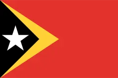 Timor-Leste · 1975–1976
- Timor-Leste · 2002–today
Flags: Wikimedia Commons.
Frequently asked questions
What is the capital of Timor-Leste?
Dili
How many people live in Timor-Leste?
1.4 million inhabitants (2025)
What currency is used in Timor-Leste?
US Dollar
What are the official languages of Timor-Leste?
Portuguese and Tetum
What is the calling code of Timor-Leste?
+670
Which countries border Timor-Leste?
Indonesia
What is the highest point of Timor-Leste?
Tatamailau (2,963 m)
Play Timor-Leste · Flag of Timor-Leste · Country fact sheets · Maps: Asia · Geotaria
Data: World Bank (population, economy), UNDP (human development), Wikidata, GeoNames and mledoze/countries.