
Geotaria · Bahamas
How many districts of the Bahamas can you name?
Type a district of the Bahamas and the map will fill in.
About this map
This blank map of the Bahamas has 32 districts. Type their names from memory, in any order, and each one you get is painted on the map.
It is a geography game to learn the map of the Bahamas: a way to study its districts (the regions the country is divided into) like a quiz or a test, but typing each name instead of picking it from a list.
There is nothing to install and no account is needed: press Start and type. With an account your best scores are saved, and you can challenge a friend to a 1 vs 1 match.
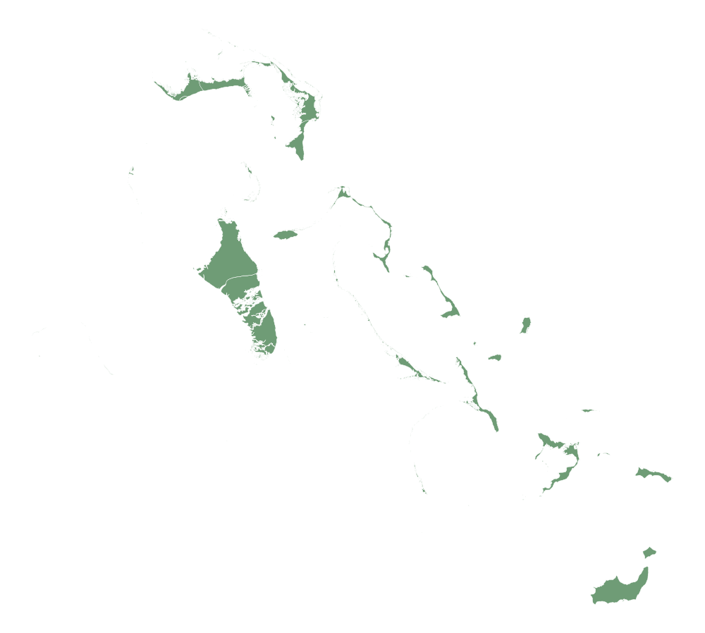
Second level of Bahamas: 33 pieces · Geotaria
Show the 32 names (it is the answer!)
- Acklins
- Biminis
- Black Point
- Berry Islands
- Central Eleuthera
- Cat Island
- Crooked Island
- Central Abaco
- Central Andros
- East Grand Bahama
- Exuma
- City of Freeport
- Grand Cay
- Harbour Island
- Hope Town
- Inagua
- Long Island
- Mangrove Cay
- Mayaguana
- Moore's Island
- North Eleuthera
- North Abaco
- New Providence
- North Andros
- Rum Cay
- Ragged Island
- South Andros
- South Eleuthera
- South Abaco
- San Salvador
- Spanish Wells
- West Grand Bahama
More maps: Americas
- Antigua and Barbuda
- Argentina
- Barbados
- Belize
- Bolivia
- Brazil
- Canada
- Chile
- Colombia
- Costa Rica
- Cuba
- Dominica
- Ecuador
- El Salvador
- United States
- Grenada
- Guatemala
- Guyana
- Haiti
- Honduras
- Jamaica
- Mexico
- Nicaragua
- Panama
- Paraguay
- Peru
- Dominican Republic
- Saint Kitts and Nevis
- Saint Vincent and the Grenadines
- Saint Lucia
- Suriname
- Trinidad and Tobago
- Uruguay
- Venezuela