
Geotaria · Seychelles
How many districts of the Seychelles can you name?
Type a district of the Seychelles and the map will fill in.
About this map
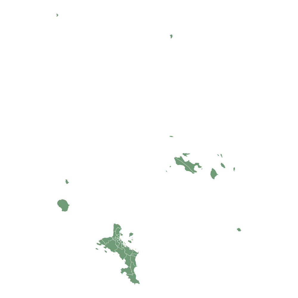
This blank map of the Seychelles has 27 districts. Type their names from memory, in any order, and each one you get is painted on the map.
It is a geography game to learn the map of the Seychelles: a way to study its districts (the regions the country is divided into) like a quiz or a test, but typing each name instead of picking it from a list.
There is nothing to install and no account is needed: press Start and type. With an account your best scores are saved, and you can challenge a friend to a 1 vs 1 match.
Show the 27 names (it is the answer!)
- Anse Aux Pins
- Anse Boileau
- Anse Etoile
- Au Cap
- Anse Royale
- Baie Lazare
- Baie Sainte Anne
- Beau Vallon
- Bel Air
- Belombre
- Cascade
- Glacis
- Grand Anse Mahe
- Grand Anse Praslin
- La Digue
- English River
- Mont Buxton
- Mont Fleuri
- Plaisance
- Pointe Larue
- Port Glaud
- Saint Louis
- Takamaka
- Les Mamelles
- Roche Caiman
- Other Islands
- Perseverance Island
More maps: Africa
- Angola
- Algeria
- Benin
- Botswana
- Burkina Faso
- Burundi
- Cape Verde
- Cameroon
- Chad
- Comoros
- Ivory Coast
- Egypt
- Eritrea
- Eswatini
- Ethiopia
- Gabon
- Gambia
- Ghana
- Guinea
- Guinea-Bissau
- Equatorial Guinea
- Kenya
- Lesotho
- Liberia
- Libya
- Madagascar
- Malawi
- Mali
- Morocco
- Mauritius
- Mauritania
- Mozambique
- Namibia
- Niger
- Nigeria
- Central African Republic
- Republic of the Congo
- Democratic Republic of the Congo
- Rwanda
- São Tomé and Príncipe
- Senegal
- Sierra Leone
- Somalia
- South Africa
- Sudan
- South Sudan
- Tanzania
- Togo
- Tunisia
- Uganda
- Djibouti
- Zambia
- Zimbabwe