
Geotaria · Solomon Islands
How many regions of the Solomon Islands can you name?
Type a region of the Solomon Islands and the map will fill in.
About this map
This blank map of the Solomon Islands has 50 regions. Type their names from memory, in any order, and each one you get is painted on the map.
It is a geography game to learn the map of the Solomon Islands: a way to study its regions (the second-level divisions of the country) like a quiz or a test, but typing each name instead of picking it from a list.
There is nothing to install and no account is needed: press Start and type. With an account your best scores are saved, and you can challenge a friend to a 1 vs 1 match.
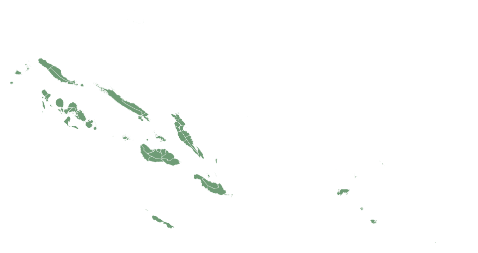
First level of Solomon Islands: 10 pieces · Geotaria
Show the 50 names (it is the answer!)
- Auki-Langalanga
- Baegu-Asifola
- Central Guadalcanal
- Central Honiara
- Central Kwara'ae
- Central Makira
- East AreAre
- East Choiseul
- East Guadalcanal
- East Honiara
- East Kwaio
- East Makira
- East Malaita
- East-Central
- Fataleka
- Gao-Bugotu
- Gizo-Kolombangara
- Hograno-Kia-Havulei
- Lau-Mbaelela
- Malaita Outer Island
- Marigne-Kokota
- Marovo
- Nggela
- North Guadalcanal
- North Malaita
- North New Georgia
- North Vella la Vella
- North West Choiseul
- North West Guadalcanl
- North-East
- Ranongga-Simbo
- Rennell-Bellona
- Savo-Russull Islands
- Shortland Islands
- Small Malaita
- South Choiseul
- South Guadalcanal
- South New Georgia-Rendova
- South Vella la Vella
- Temotu Pele
- Temotu Vatu
- Temotu-Nende
- Ulawa-Ugi
- West Areare
- West Guadalcanal
- West Honiara
- West Kwaio
- West Kwara'ae
- West Makira
- West New Georgia-Vonavona