
Geotaria · 巴哈马
巴哈马:区(二级行政区)
写出巴哈马的区名称,填满地图。
关于此地图
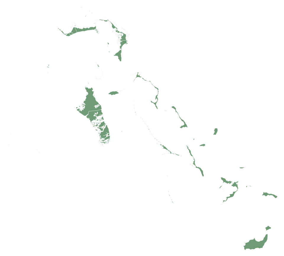
巴哈马的这张地图包含33个区。凭记忆按任意顺序输入名称,每个正确答案都会在地图上着色。
无需安装或注册,点击开始即可输入名称。创建账户可保存最佳成绩,并与好友进行一对一比赛。
巴哈马 — 首都:拿骚;人口:403,033(2025年);面积:13,943 km²。没有陆地边界。
常见问题
巴哈马的这张地图上有多少个区?
巴哈马的这张地图上有33个区。
巴哈马有哪些区?
Acklins、Berry Islands、Bimini、Black Point、Cat Island、Central Abaco、Central Andros、Central Eleuthera、City of Freeport、Crooked Island and Long Cay、East Grand Bahama、Exuma、Grand Cay、Green Turtle Cay、Harbour Island、Hope Town、Inagua、Long Island、Mangrove Cay、Mayaguana、Moore's Island、New Providence、North Abaco、North Andros、North Eleuthera、Ragged Island、Rum Cay、San Salvador、South Abaco、South Andros、South Eleuthera、Spanish Wells和West Grand Bahama。
巴哈马的每个地区有多少个区?
北阿巴科區: 2; 北安德罗斯岛: 1; 北伊柳塞拉: 2; 貝里群島: 1; 比米尼群島: 1; 東大巴哈馬區: 1; 弗里波特: 1; 卡特島: 1; 克魯克德島 (巴哈馬): 1; 拉吉德岛: 1; 拉姆岛: 1; 南阿巴科區: 1; 南安德羅斯: 1; 南伊柳塞拉: 1; 圣萨尔瓦多岛: 1; 西大巴哈馬島區: 1; 西艦井: 1; 伊納瓜: 1; 長島: 1; 中阿巴科: 3; Acklins: 1; Black Point: 2; Central Andros: 1; Central Eleuthera: 1; Mangrove Cay: 1; Mayaguana: 1; Moore's Island: 1; New Providence: 1。
名称必须完全一致吗?
不区分大小写和重音符号。只要能唯一识别一个行政区,完整单词即可;单词片段不算。
巴哈马: 一级 (32) · 巴哈马的国旗 · 巴哈马:国旗、地图、首都和概况 · Geotaria
区数据
| 名称 | 区 | 人口 | 面积 (km²) |
|---|---|---|---|
| Acklins | Acklins | 692 (2022) | 482 |
| Berry Islands | 貝里群島 | — | 46 |
| Bimini | 比米尼群島 | — | 27 |
| Black Point | Black Point | — | 3.8 |
| Cat Island | 卡特島 | — | 353 |
| Central Abaco | 中阿巴科 | — | 411 |
| Central Andros | Central Andros | — | 1,124 |
| Central Eleuthera | Central Eleuthera | — | 121 |
| City of Freeport | 弗里波特 | — | 69 |
| Crooked Island and Long Cay | 克魯克德島 (巴哈馬) | — | 323 |
| East Grand Bahama | 東大巴哈馬區 | — | 564 |
| Exuma | Black Point | — | 288 |
| Grand Cay | 北阿巴科區 | — | 14 |
| Green Turtle Cay | 中阿巴科 | — | 7.8 |
| Harbour Island | 北伊柳塞拉 | — | 2.7 |
| Hope Town | 中阿巴科 | — | 15 |
| Inagua | 伊納瓜 | — | 1,677 |
| Long Island | 長島 | — | 429 |
| Mangrove Cay | Mangrove Cay | — | 372 |
| Mayaguana | Mayaguana | — | 300 |
| Moore's Island | Moore's Island | — | 20 |
| New Providence | New Providence | 274,400 (2016) | 223 |
| North Abaco | 北阿巴科區 | — | 224 |
| North Andros | 北安德罗斯岛 | 5,133 (2010) | 2,555 |
| North Eleuthera | 北伊柳塞拉 | — | 109 |
| Ragged Island | 拉吉德岛 | — | 29 |
| Rum Cay | 拉姆岛 | — | 86 |
| San Salvador | 圣萨尔瓦多岛 | — | 156 |
| South Abaco | 南阿巴科區 | — | 639 |
| South Andros | 南安德羅斯 | — | 943 |
| South Eleuthera | 南伊柳塞拉 | — | 206 |
| Spanish Wells | 西艦井 | — | 6.3 |
| West Grand Bahama | 西大巴哈馬島區 | — | 332 |
面积:geoBoundaries。所属地区、首府和人口:维基数据;括号内为人口数据的年份。